-
×
 Gear Biolite FirePit Griddle
1 × $40.46
Gear Biolite FirePit Griddle
1 × $40.46 -
×
 Yak Gear YakGear Kayak And Canoe Outriggers Gen 2
1 × $92.99
Yak Gear YakGear Kayak And Canoe Outriggers Gen 2
1 × $92.99 -
×
Carrying Case For Backpackers Cache
1 × $13.30
-
×
National Geographic 211 Arches National Park Map Utah
1 × $10.91
-
×
Helle Kletten Knife The 10 Essentials
1 × $91.99
-
×
National Geographic Gear 500 Moab North Trail Map Utah
1 × $9.68
-
×
National Geographic 201 Yellowstone National Park Map Idaho Montana Wyoming Gear
1 × $11.06
-
×
National Geographic Gear 1001 John Muir Trail Map Guid-California
1 × $12.56
 Yak Gear YakGear Kayak And Canoe Outriggers Gen 2
  Carrying Case For Backpackers Cache
  National Geographic 211 Arches National Park Map Utah
  Helle Kletten Knife The 10 Essentials
  National Geographic Gear 500 Moab North Trail Map Utah
 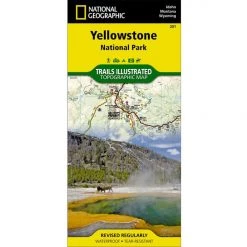 National Geographic 201 Yellowstone National Park Map Idaho Montana Wyoming Gear
 Sale!

National Geographic 100 – Boulder / Golden Trail Map Colorado Gear
Original price was: $14.95.$11.81Current price is: $11.81.
- Buy quality, buy with us.
- Online assistance, always just a message away.
- Peace of Mind with Every Purchase
- Get the quality you deserve, for less.

The Boulder/Golden Trails Illustrated map is the most comprehensive recreational map for the northern Colorado Front Range.
Coverage includes Boulder County Open Space Parks, City of Boulder Open Space and Mountain Parks, Jefferson County Open Space Parks, Eldorado and Golden Gate Canyon State Parks, Denver Mountain Parks, Arapaho, Roosevelt and Pike national forests. Also includes Boulder, Golden, Evergreen, Lyons, Lakewood, Morrison, and Aspen Park.
- Approximately 4″ x 7 1/2″ folded; 25 1/2″ x 37 3/4″ fully opened
- Scale = 1:50,000
- Map revised – 2008
- Printed on waterproof, tear-resistant paper.
More than just a map, National Geographic Trails Illustrated topographic maps are designed to take you into the wilderness and back. Printed on tear-resistant, waterproof material, this map can go anywhere you do. Each map is based on exact reproductions of USGS topographic map information, updated, customized, and enhanced to meet the unique features of each area. The maps include valuable wilderness tips and Leave No Trace guidelines, along with updated trails, trailheads, points of interest, campgrounds, and much more. With a new color palette and stunning shaded relief, backcountry navigation has never been easier.
Be the first to review “National Geographic 100 – Boulder / Golden Trail Map Colorado Gear”
Related products
Sale!

Original price was: $14.95.$12.41Current price is: $12.41.
Sale!

Original price was: $14.95.$11.06Current price is: $11.06.
Sale!

Original price was: $14.95.$11.66Current price is: $11.66.
Sale!

Original price was: $14.95.$10.91Current price is: $10.91.
Sale!

Original price was: $14.95.$12.26Current price is: $12.26.
Sale!

Original price was: $11.95.$9.68Current price is: $9.68.
Sale!
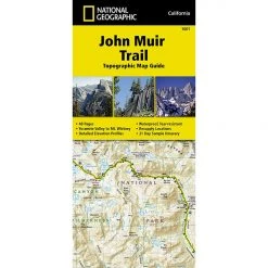
Original price was: $14.95.$12.56Current price is: $12.56.
Sale!

Original price was: $11.95.$9.44Current price is: $9.44.
Reviews
There are no reviews yet.