-
×
 Kelty Journey Sunshade Child Carriers
1 × $27.96
Kelty Journey Sunshade Child Carriers
1 × $27.96 -
×
 National Geographic 130 Salida - St. Elmo Map Colorado Gear
1 × $12.41
National Geographic 130 Salida - St. Elmo Map Colorado Gear
1 × $12.41 -
×
National Geographic 143 Carbondale Bassalt Trail Map
1 × $9.20
-
×
Badfish SUP Badfish Monarch Stand-Up Paddleboard Kit
1 × $95.99
-
×
YakAttack DoubleHeader With Dual RotoGrip Paddle Holders
1 × $25.86
-
×
National Geographic 145 Pagosa Springs Bayfield Area Trail Map Colorado Gear
1 × $8.60
-
×
Gear 730 Toas Area National Geographic Map New Mexico
1 × $10.91
-
×
Gear Railblaza C-Tug Kiwi Wheel Set
1 × $46.74
-
×
National Geographic 203 Guadalupe Mountains National Park Map Texas
1 × $10.91
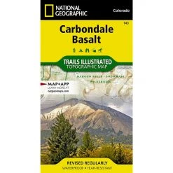 National Geographic 143 Carbondale Bassalt Trail Map
 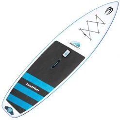 Badfish SUP Badfish Monarch Stand-Up Paddleboard Kit
  YakAttack DoubleHeader With Dual RotoGrip Paddle Holders
 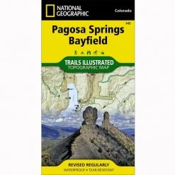 National Geographic 145 Pagosa Springs Bayfield Area Trail Map Colorado Gear
  Gear Railblaza C-Tug Kiwi Wheel Set
  National Geographic 203 Guadalupe Mountains National Park Map Texas
 Sale!

National Geographic 140 Weminuche Wilderness Trail Map Colorado Gear
Original price was: $14.95.$11.81Current price is: $11.81.
- Buy quality, buy with us.
- Online assistance, always just a message away.
- Peace of Mind with Every Purchase
- Get the quality you deserve, for less.

The Weminuche Wilderness Trails Illustrated map is the most comprehensive and complete recreation map for Colorado’s largest wilderness area.
Coverage includes: San Juan and Rio Grande national forests; Weminuche Wilderness; Williams Creek; Big Meadows and Rio Grand reservoirs; Chicago Basin, Emerald, and Electra lakes; Wagon Wheel Gap, Wolf Creek, and Rockwood. 14ers: Sunlight Peak, Windom Peak, Mt Eolus; Piedra, Squaw and Molas passes; San Juan Mountains; San Juan, Rio Grande and Los Pinos rivers; Wolf Creek ski area; Portions of the Continental Divide Trail and the Colorado Trail.
- Approximately 4″ x 7 1/2″ folded; 22″ x 32″ fully opened
- Waterproof, tear-resistant
- Scale = 1:40,680
- Map revised – 2006
More than just a map, National Geographic Trails Illustrated topographic maps are designed to take you into the wilderness and back. Printed on tear-resistant, waterproof material, this map can go anywhere you do. Each map is based on exact reproductions of USGS topographic map information, updated, customized, and enhanced to meet the unique features of each area. The maps include valuable wilderness tips and Leave No Trace guidelines, along with updated trails, trailheads, points of interest, campgrounds, and much more. With a new color palette and stunning shaded relief, backcountry navigation has never been easier.
Be the first to review “National Geographic 140 Weminuche Wilderness Trail Map Colorado Gear”
Related products
Sale!

Original price was: $14.95.$12.41Current price is: $12.41.
Sale!

Original price was: $14.95.$10.91Current price is: $10.91.
Sale!

Original price was: $11.95.$8.84Current price is: $8.84.
Sale!

Original price was: $11.95.$9.92Current price is: $9.92.
Sale!

Original price was: $14.95.$10.91Current price is: $10.91.
Sale!

Original price was: $11.95.$9.92Current price is: $9.92.
Sale!

Original price was: $14.95.$12.26Current price is: $12.26.
Sale!

Original price was: $11.95.$9.44Current price is: $9.44.
Reviews
There are no reviews yet.