-
×
 National Geographic 204 Lake Mead National Recreation Area Map Gear
1 × $10.91
National Geographic 204 Lake Mead National Recreation Area Map Gear
1 × $10.91 -
×
 National Geographic 803 Lake Tahoe Basin Topographic Map-California/Nevada
1 × $8.84
National Geographic 803 Lake Tahoe Basin Topographic Map-California/Nevada
1 × $8.84 -
×
Gear 730 Toas Area National Geographic Map New Mexico
1 × $10.91
-
×
Jetboil Luna Satellite Burner Gear
1 × $59.46
-
×
Badfish SUP Badfish Monarch Stand-Up Paddleboard Kit
1 × $95.99
-
×
MSR Hydration Kit Gear
1 × $18.13
-
×
Gear Wilderness Systems Trolling Motor Mount
1 × $93.46
-
×
National Geographic Gear 225 Big Bend National Park Map Texas
1 × $11.51
 National Geographic 803 Lake Tahoe Basin Topographic Map-California/Nevada
  Gear 730 Toas Area National Geographic Map New Mexico
  Jetboil Luna Satellite Burner Gear
 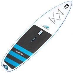 Badfish SUP Badfish Monarch Stand-Up Paddleboard Kit
 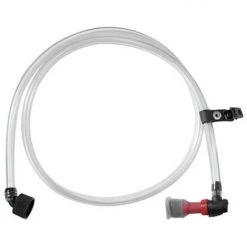 MSR Hydration Kit Gear
 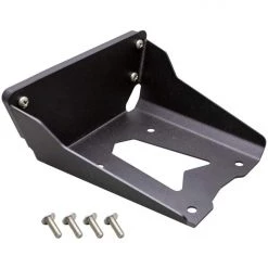 Gear Wilderness Systems Trolling Motor Mount
  National Geographic Gear 225 Big Bend National Park Map Texas
 Sale!

National Geographic 214 Zion National Park Map Utah
Original price was: $14.95.$10.76Current price is: $10.76.
- Buy quality, buy with us.
- Online assistance, always just a message away.
- Peace of Mind with Every Purchase
- Get the quality you deserve, for less.

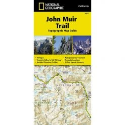
The National Geographic – Trails Illustrated folded map is your essential guide for outdoor exploration in Zion National Park. The brilliantly illustrated topographical representation shows all trails, campsites, and recreational features, plus relevant info on wildlife, history, geology, and archaeology.
All data is updated to reflect road closings, new trails, and campground relocation.
Printed on waterproof, tear-resistant material with a plastic coating that offers supreme durablity for your next outdoor adventure.
Measures 4″ x 9″ folded and 28″ x 32″ fully opened. Scale 1:37,700.
Be the first to review “National Geographic 214 Zion National Park Map Utah”
Related products
Sale!

Original price was: $9.95.$8.06Current price is: $8.06.
Sale!

Original price was: $14.95.$11.06Current price is: $11.06.
Sale!

Original price was: $14.95.$10.91Current price is: $10.91.
Sale!
Original price was: $14.95.$12.56Current price is: $12.56.
Sale!

Original price was: $14.95.$10.91Current price is: $10.91.
Sale!

Original price was: $11.95.$9.44Current price is: $9.44.
Sale!

Original price was: $14.95.$12.26Current price is: $12.26.
Sale!

Original price was: $11.95.$9.92Current price is: $9.92.
Reviews
There are no reviews yet.