-
×
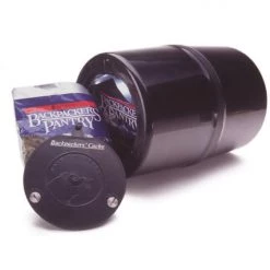 Garcia Backpackers Cache Bear Proof Container 812
1 × $60.04
Garcia Backpackers Cache Bear Proof Container 812
1 × $60.04 -
×
 Gear Railblaza C-Tug Kiwi Wheel Set
1 × $46.74
Gear Railblaza C-Tug Kiwi Wheel Set
1 × $46.74 -
×
National Geographic 261 Grand Canyon Map Arizona Gear
1 × $12.26
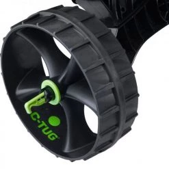 Gear Railblaza C-Tug Kiwi Wheel Set
  National Geographic 261 Grand Canyon Map Arizona Gear
 Sale!

National Geographic 701 Timp/ Lone Peak Map
Original price was: $9.95.$7.06Current price is: $7.06.
- Buy quality, buy with us.
- Online assistance, always just a message away.
- Peace of Mind with Every Purchase
- Get the quality you deserve, for less.

The National Geographic -Trails Illustrated folded map is your essential guide for outdoor exploration in Utah’s Uintah National Forest area. The brilliantly illustrated topographical representation shows all trails, campsites, and recreational features, plus relevant info on wildlife, history, geology, and archaeology.
Coverage includes Unita National Forest, Mt. Nebo, Lone Peak and Mt. Timpanogos Wildernesses. Granite, American Fork, Orem. Little Cottonwood Canyon, Santaquin, Devils Kitchen. Deer Creek and Silver Lake Flat reservoirs and Little Provo River.
All data is updated to reflect road closings, new trails, and campground relocation.
Printed on waterproof, tear-resistant material with a plastic coating that offers supreme durablity for your next outdoor adventure.
Measures 4″ x 9″ folded and 28″ x 32″ fully opened. Scale of 1:48,000.
Be the first to review “National Geographic 701 Timp/ Lone Peak Map”
Related products
Sale!

Original price was: $11.95.$9.68Current price is: $9.68.
Sale!

Original price was: $14.95.$10.91Current price is: $10.91.
Sale!

Original price was: $11.95.$8.84Current price is: $8.84.
Sale!

Original price was: $14.95.$10.91Current price is: $10.91.
Sale!

Original price was: $11.95.$9.92Current price is: $9.92.
Sale!

Original price was: $14.95.$10.91Current price is: $10.91.
Sale!

Original price was: $14.95.$11.06Current price is: $11.06.
Sale!

Original price was: $14.95.$10.91Current price is: $10.91.
Reviews
There are no reviews yet.