-
×
 NRS Infinity Split Kayak Stern Flotation Bags Pair Gear
1 × $71.36
NRS Infinity Split Kayak Stern Flotation Bags Pair Gear
1 × $71.36 -
×
 National Geographic 261 Grand Canyon Map Arizona Gear
1 × $12.26
National Geographic 261 Grand Canyon Map Arizona Gear
1 × $12.26 -
×
Yak Gear YakGear Kayak And Canoe Outriggers Gen 2
1 × $92.99
-
×
Biolite FirePit Grill Lid
1 × $49.76
-
×
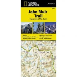
National Geographic 228 Shenandoah National Park Map Virginia
1 × $9.68
 National Geographic 261 Grand Canyon Map Arizona Gear
 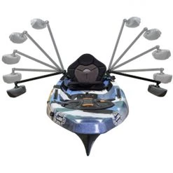 Yak Gear YakGear Kayak And Canoe Outriggers Gen 2
 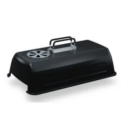 Biolite FirePit Grill Lid
 Sale!

National Geographic 705 Bryce – MT Dutton Map Utah The 10 Essentials
Original price was: $5.95.$5.06Current price is: $5.06.
- Buy quality, buy with us.
- Online assistance, always just a message away.
- Peace of Mind with Every Purchase
- Get the quality you deserve, for less.

The National Geographic -Trails Illustrated folded map is your essential guide for outdoor exploration in Utah’s Paunsaugunt Plateau/Mount Dutton/Bryce Canyon area. The brilliantly illustrated topographical representation shows all trails, campsites, and recreational features, plus relevant info on wildlife, history, geology, and archaeology.
Coverage includes Dixie National Forest. Bryce Canyon National Park. Paunsaugunt Plateau. Red Canyon, Sunset and Pink Cliffs, Johns Valley, Casto Canyon, Swallow Park Ranch, Sevier Plateau and Pole Canyon. Tropic Reservoir, Cottonwood Creek and Sevier Creek.
All data is updated to reflect road closings, new trails, and campground relocation.
Printed on waterproof, tear-resistant material with a plastic coating that offers supreme durablity for your next outdoor adventure.
Measures 4″ x 9″ folded and 28″ x 32″ fully opened. Scale of 1:50,000.
Be the first to review “National Geographic 705 Bryce – MT Dutton Map Utah The 10 Essentials”
Related products
Sale!

Original price was: $14.95.$12.26Current price is: $12.26.
Sale!


Original price was: $7.95.$6.44Current price is: $6.44.
This product has multiple variants. The options may be chosen on the product page
Sale!

Original price was: $11.95.$9.92Current price is: $9.92.
Sale!

Original price was: $11.95.$9.68Current price is: $9.68.
Sale!
Original price was: $14.95.$12.56Current price is: $12.56.
Sale!

Original price was: $11.95.$9.68Current price is: $9.68.
Sale!

Original price was: $11.95.$9.44Current price is: $9.44.
Sale!

Original price was: $14.95.$11.66Current price is: $11.66.
Reviews
There are no reviews yet.