-
×
 National Geographic 1302 Colorado Topographic Map- 14ers North Gear
1 × $10.91
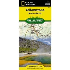
National Geographic 1302 Colorado Topographic Map- 14ers North Gear
1 × $10.91 -
×
 National Geographic 223 North Cascades National Park Map Washington
2 × $8.06
National Geographic 223 North Cascades National Park Map Washington
2 × $8.06 -
×
Railblaza G Hold 50mm
1 × $12.29
-
×
National Geographic 703 Manti La-Sal National Forest Map Utah
1 × $9.32
-
×
NRS J-Hook Tie-Down Straps Kit Small 6 Feet
1 × $15.16
-
×
National Geographic 228 Shenandoah National Park Map Virginia
1 × $9.68
-
×
National Geographic Gear 1001 John Muir Trail Map Guid-California
1 × $12.56
-
×
National Geographic 501 Moab South Trail Map Utah Gear
1 × $9.80
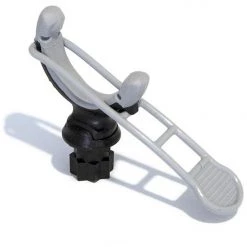 Railblaza G Hold 50mm
  National Geographic 703 Manti La-Sal National Forest Map Utah
 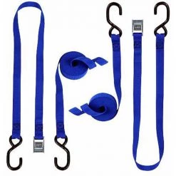 NRS J-Hook Tie-Down Straps Kit Small 6 Feet
  National Geographic 228 Shenandoah National Park Map Virginia
 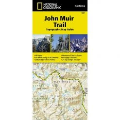 National Geographic Gear 1001 John Muir Trail Map Guid-California
  National Geographic 501 Moab South Trail Map Utah Gear
 Sale!

National Geographic 761 Prince William Sound West Map Alaska Gear
Original price was: $11.95.$8.72Current price is: $8.72.
- Buy quality, buy with us.
- Online assistance, always just a message away.
- Peace of Mind with Every Purchase
- Get the quality you deserve, for less.

The National Geographic’s- Trails Illustrated folded map is your essential guide for outdoor exploration in Alaska’s Prince William Sound – West area. The brilliantly illustrated topographical representation shows all trails, campsites, and recreational features, plus relevant info on wildlife, history, geology, and archaeology.
Coverage includes Chugach N.F., Nellie Juan-College Fjord Wilderness Study Area, Granite Bay, South Esther Island, Surprise Cove, Decision Point, Entry Cove, Ziegler Cave and Bettles Bay state marine parks. Whittier and Chenega. Knight, Latouche, Elrington, Evans, Bainbridge, Culross, Esther and Perry islands, Port Wells, Port Nellie Juan and Port Bainbridge. Harriman, College ad Blue fjords. Selected anchorages and kayak landings.
All data is updated to reflect road closings, new trails, and campground relocation.
Printed on waterproof, tear-resistant material with a plastic coating that offers supreme durablity for your next outdoor adventure.
Measures 4″ x 9″ folded and 28″ x 32″ fully opened. Scale 1:105,600.
Be the first to review “National Geographic 761 Prince William Sound West Map Alaska Gear”
Related products
Sale!

Original price was: $14.95.$11.51Current price is: $11.51.
Sale!

Original price was: $14.95.$10.91Current price is: $10.91.
Sale!
Original price was: $14.95.$11.06Current price is: $11.06.
Sale!

Original price was: $9.95.$8.06Current price is: $8.06.
Sale!

Original price was: $11.95.$9.92Current price is: $9.92.
Sale!

Original price was: $11.95.$8.72Current price is: $8.72.
Sale!

Original price was: $14.95.$11.06Current price is: $11.06.
Sale!


Original price was: $7.95.$6.44Current price is: $6.44.
This product has multiple variants. The options may be chosen on the product page
Reviews
There are no reviews yet.