-
×
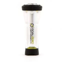 Goal Zero Lighthouse Micro Flash Rechargeable Lantern Gear
1 × $20.99
Goal Zero Lighthouse Micro Flash Rechargeable Lantern Gear
1 × $20.99 -
×
 National Geographic 1302 Colorado Topographic Map- 14ers North Gear
1 × $10.91
National Geographic 1302 Colorado Topographic Map- 14ers North Gear
1 × $10.91 -
×
Gear Eureka HA (Height Adjustable) Pole
1 × $27.96
-
×
Gransfors Bruk American Felling Axe 31in Straight Handle
1 × $96.99
-
×
National Geographic 228 Shenandoah National Park Map Virginia
1 × $9.68
 National Geographic 1302 Colorado Topographic Map- 14ers North Gear
  Gear Eureka HA (Height Adjustable) Pole
 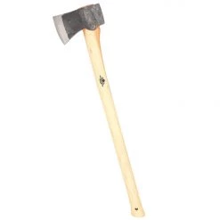 Gransfors Bruk American Felling Axe 31in Straight Handle
  National Geographic 228 Shenandoah National Park Map Virginia
 Sale!

National Geographic 119 Yampa – Gore Pass Map
Original price was: $5.95.$4.28Current price is: $4.28.
- Buy quality, buy with us.
- Online assistance, always just a message away.
- Peace of Mind with Every Purchase
- Get the quality you deserve, for less.

The National Geographic -Trails Illustrated folded map is your essential guide for outdoor exploration in Colorado’s Yampa/Gore Pass area. The brilliantly illustrated topographical representation shows all trails, campsites, and recreational features, plus relevant info on wildlife, history, geology, and archaeology.
Coverage includes Routt and Arapaho National Forests. Sarvis Creek Wilderness. Toponas, Phippsburg and Yampa. Pine Mesa and Eagle Rock lakes and Red Dirt Resv. Gore and Lynx passes.
All data is updated to reflect road closings, new trails, and campground relocation.
Printed on waterproof, tear-resistant material with a plastic coating that offers supreme durablity for your next outdoor adventure.
Measures 4″ x 9″ folded and 28″ x 32″ fully opened.
Be the first to review “National Geographic 119 Yampa – Gore Pass Map”
Related products
Sale!

Original price was: $14.95.$10.91Current price is: $10.91.
Sale!

Original price was: $11.95.$8.72Current price is: $8.72.
Sale!

Original price was: $11.95.$9.92Current price is: $9.92.
Sale!

Original price was: $14.95.$12.26Current price is: $12.26.
Sale!

Original price was: $11.95.$8.84Current price is: $8.84.
Sale!

Original price was: $14.95.$10.91Current price is: $10.91.
Sale!

Original price was: $14.95.$10.91Current price is: $10.91.
Sale!

Original price was: $11.95.$9.44Current price is: $9.44.
Reviews
There are no reviews yet.